
Welcome
Welcome and thank you for visiting our consultation website, which sets out our planning proposals for a development of new homes on the northern edge of Boldon.
This website provides an opportunity for the local community to view our emerging proposals and to provide us with feedback on the plans before we submit a planning application. Please take time to consider the information contained on the website and complete our feedback form. We welcome and value your thoughts on our proposals.
Introducing the Church Commissioners
for England

The Church Commissioners for England are a registered charity established in 1948 to support the Church of England’s ministry, particularly in areas of need and opportunity. They do this through responsible and ethical management investments including land.

The Church Commissioners for England’s Strategic Land Team looks to bring forward land for development across the country working closely with local authorities to meet local needs.
The Commissioners aim to ensure their residential developments meet five core values for housing, that they should be Safe, Stable, Sociable, Satisfying and Sustainable.
These aims underpin their requirements for design from the earliest stages of development, as well as how they manage relationships with developer partners to ensure the creation of high quality, affordable and appropriate housing.
The Site
Site Description
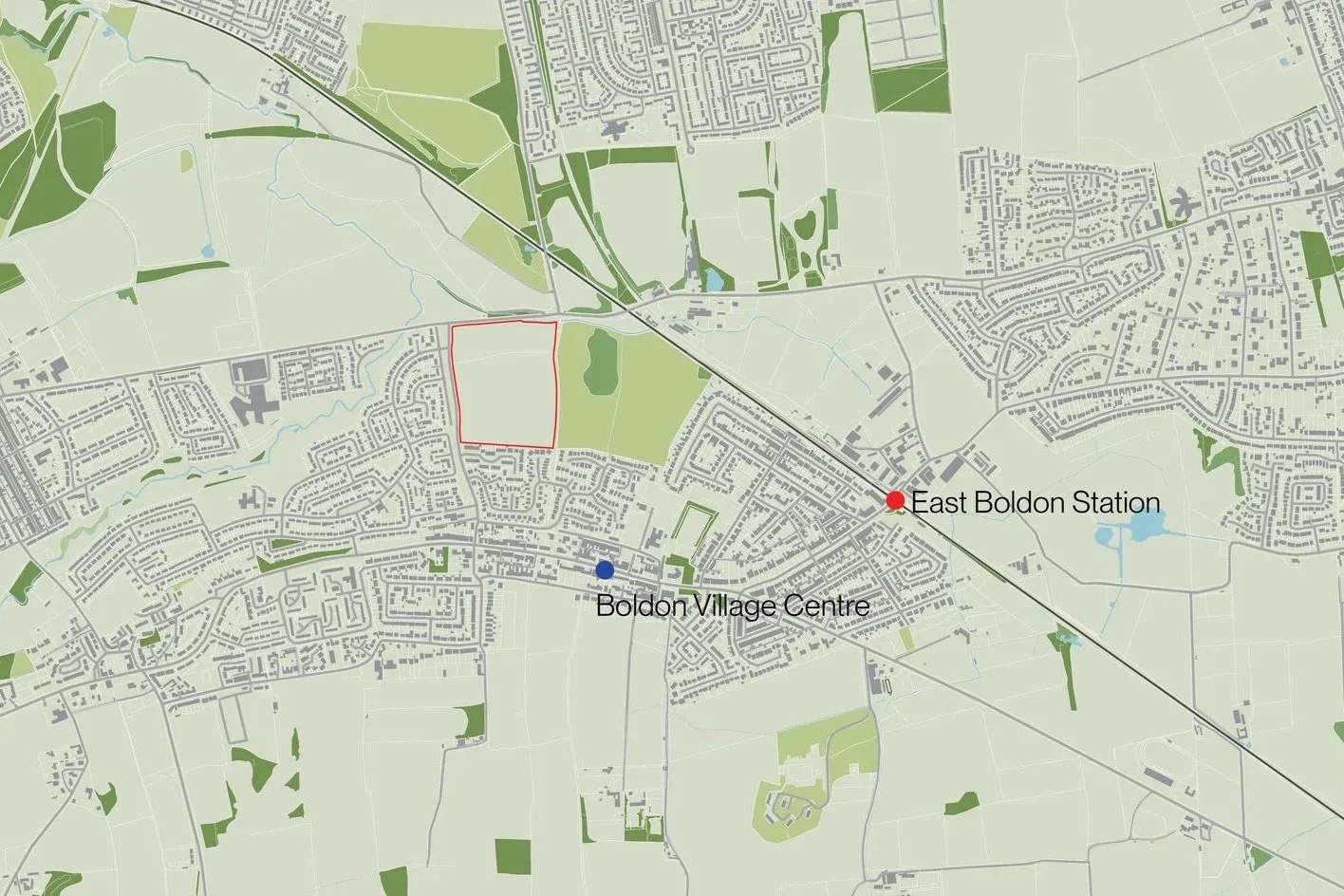
The application site is located on the north-west edge of East Boldon, approximately 0.6 km from the centre of the village and 1.6 km from East Boldon railway station. The application site is shown lined in red on the plan below.
The site is approximately 9.34 hectares in size and is rectangular shaped. It is bound by the B1298 New Road to the north and Boker Lane to the east. A watercourse forms the north-eastern boundary of the site, flowing northwest towards the River Don.
The site is made up of two fields, divided by a tree belt. A public footpath runs east–west across the northern part of the site and connects to another footpath along the eastern boundary.
The site has a draft allocation in the emerging South Tyneside Local Plan (expected to be adopted in Summer 2026).
Site location plan
Why here?
The site has been identified as a draft allocation in the emerging Local Plan, meaning it has been assessed by South Tyneside Council as a suitable and sustainable location for housing, with good access to local educational and health facilities, public transport links and local shops.
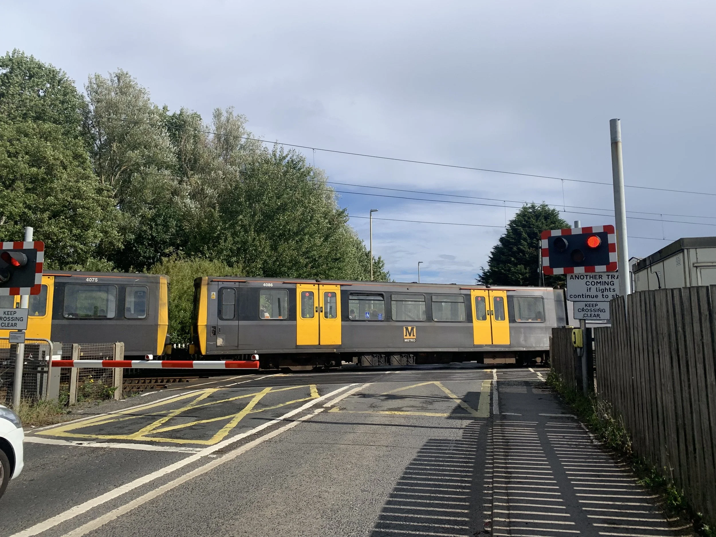
Metro
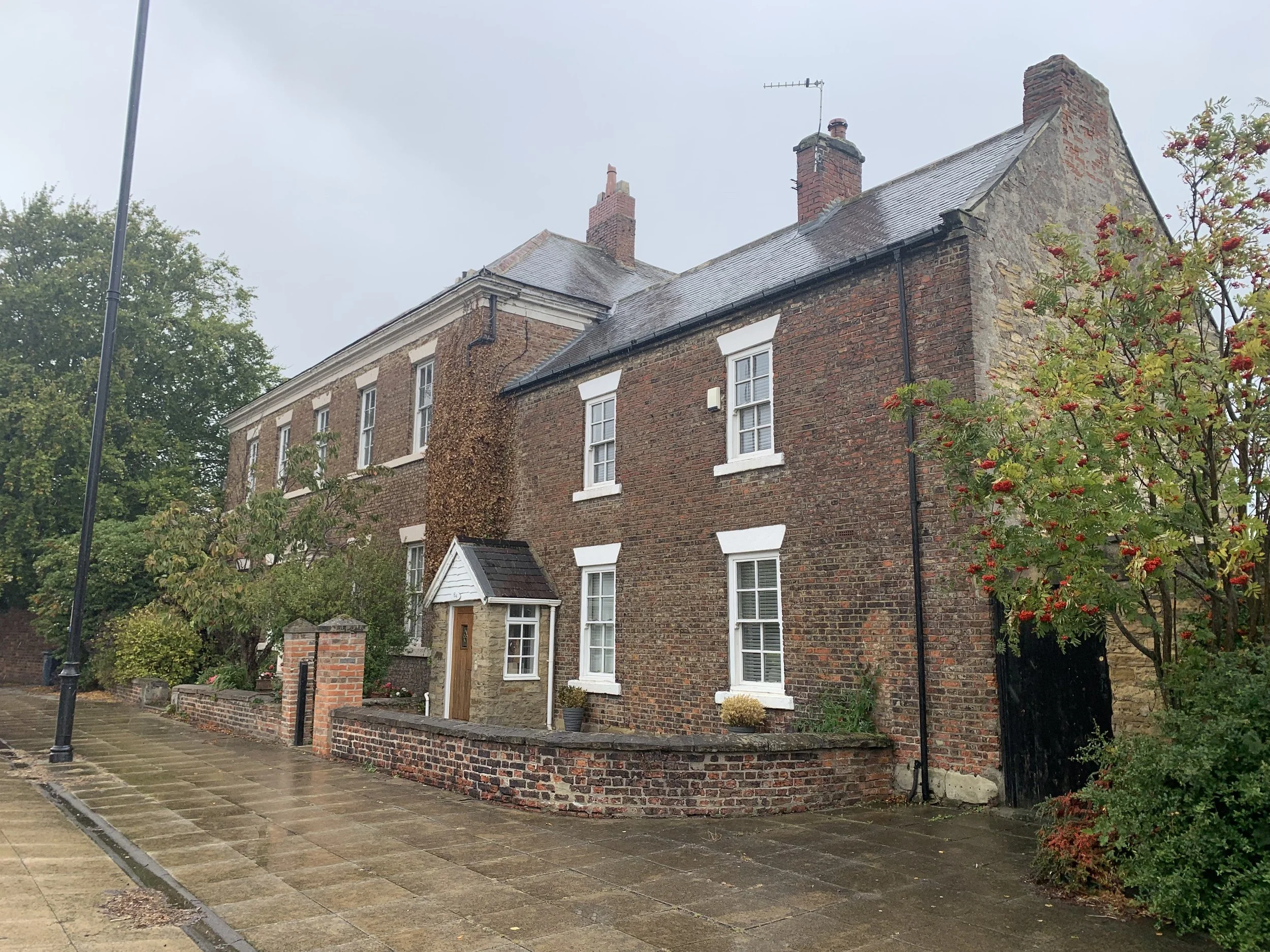
Front Street
Boldon village centre is 600m from the site, a 10-minute walk. The centre contains various pubs, convenience stores and specialist services.

East Boldon railway station is 1.6km from the site, a 22-minute walk or 4-minute drive.

The nearest primary school is East Boldon Junior School. It is 800m from the site, a 10-minute walk.

The nearest secondary school is Boldon School, which is 900m from the site, a 12-minute walk.

The parkland along the River Don is the nearest Public Access Open Space. It is 500m from the site, a 7-minute walk.

The public footpath network crosses the site, providing access to country walks to both the neighbouring villages and the Boldon Hills.

Planning proposals
More detailed information with regard to the site and proposals is contained within our consultation boards.
We are proposing to submit an outline planning application for up to 255 homes alongside green space and associated infrastructure.
To inform the proposals, our design team has studied the site and its local context in detail.
The site offers an opportunity for a well-defined extension to East Boldon village. It is bounded by New Road to the north and historic bridleway to the east , and does not push beyond the existing northern and western extents of the village.
New Road and Boker Lane both provide options for vehicular access to the site while the adjacent bridleway provides strong connections for walking and cycling into the village and the wider network.
Existing trees to the south of the site provide a good level of separation for existing properties bounding the site – while the hedge to the eastern boundary provides a strong boundary to the surrounding agricultural land.
The site’s proximity to the village centre, schools and local services makes it highly sustainable for walking and cycling, with nearby bus and rail services providing further connections to the wider area.

Illustrative scheme
The plan illustrates how the site could be developed if outline planning permission is granted.
The outline planning application being submitted will be for:
‘use’ (type of development, in this case residential)
‘amount’ (the number of dwellings, including affordable homes) and
‘access’ (the detailed arrangements of the junctions from the existing highway)
To demonstrate that these elements are appropriate, an illustrative layout has been prepared showing how the development could respond to local policy and aspirations. The final layout and detail of the buildings, roads and green space will be determined at the ‘reserved matters’ stage and may differ from that shown.
Have your say
This consultation is now closed.
If you have an questions, you can still get in touch with us via email: ukdeloitteconsultation@deloitte.co.uk
Please note that the comments you provide will be viewed by the project team and may also be used in documents we submit to South Tyneside Council as part of the planning application, and/or related correspondence. These may become publicly available documents. Any personal details such as names, addresses, or contact numbers supplied will not be used in such documents/correspondence or shared with third parties.
What happens next?
Following our consultation period, we will continue to develop our planning proposals and aim to submit an outline planning application in late summer 2026.
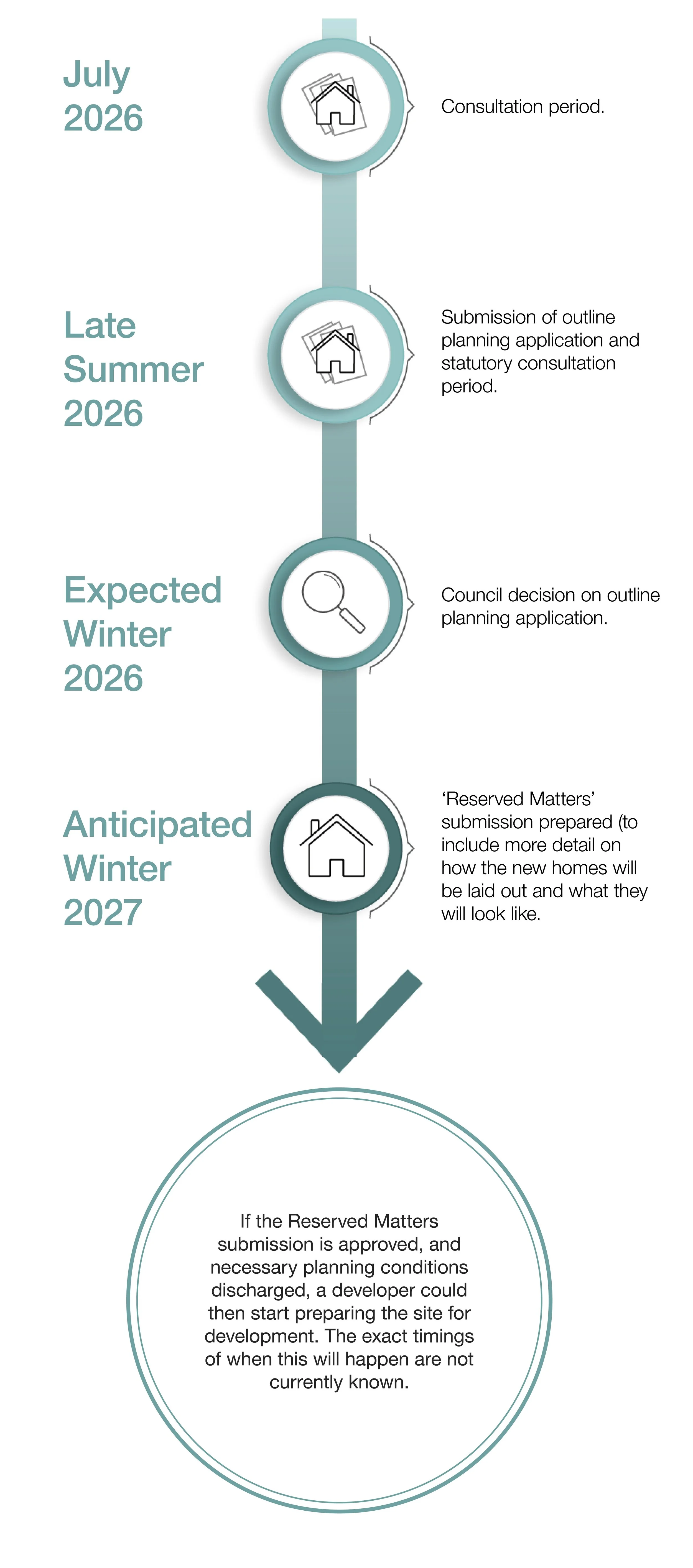
The timescales set out herein are indicative only and remain subject to the determination of outline planning application and subsequent approval of reserved matters.
Attend our consultation event
We are holding a public consultation event for members of the local community to view our proposals and talk to members of our project team:
Date: Wednesday 1 July 2026
Time: 4pm to 7pm
Location: St George’s Church, East Boldon, NE36 0SW